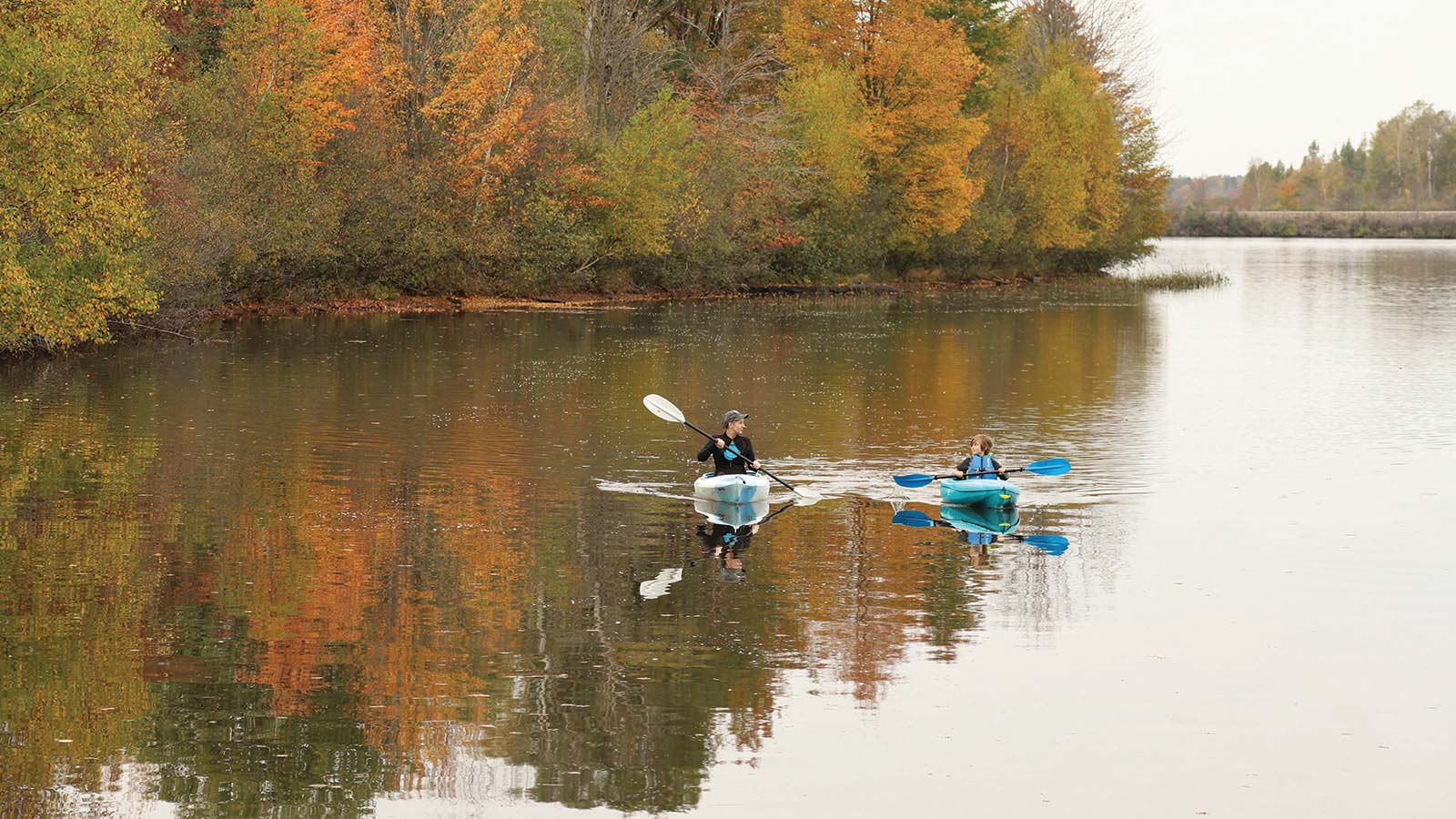
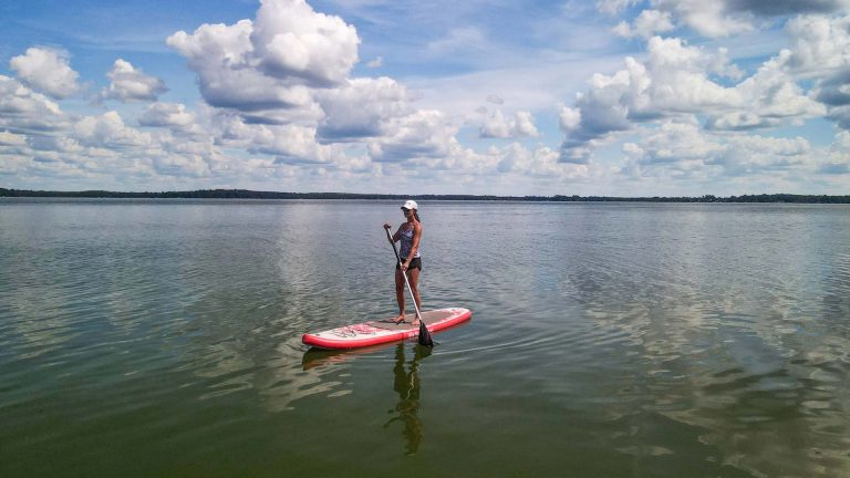
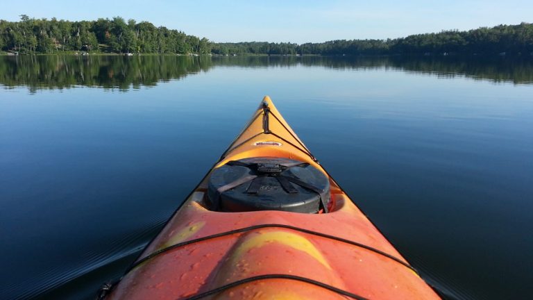
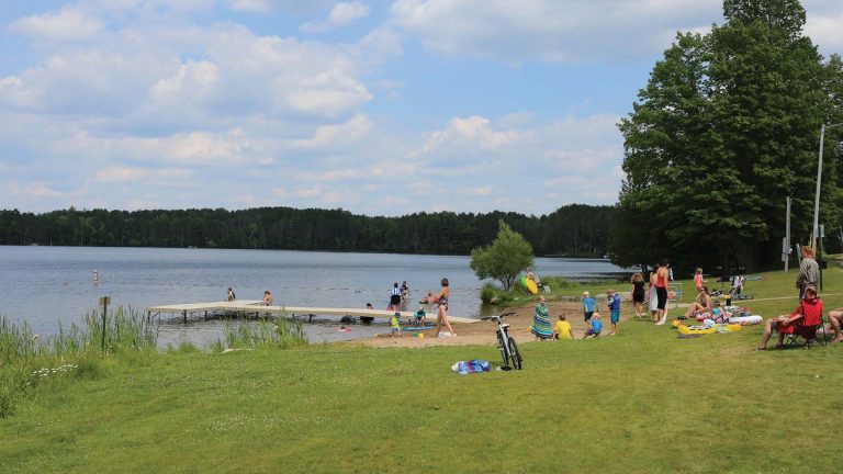
The Wisconsin River originates in Lac Vieux Desert in Wisconsin’s Northwoods near the border of the Upper Peninsula of Michigan and travels all the way to the Mississippi River in the southwest corner of the state. It is Wisconsin’s longest river. The great waterway’s name, “Meskousing,” was first recorded in 1673 by Jacques Marquette. French explorers who followed in the wake of Marquette later modified the name to “Ouisconsin,” which was simplified to “Wisconsin” in the early 19th century before being applied to Wisconsin Territory and finally the state as a whole.
Suggested trips on the Wisconsin River in Oneida County:
- Hwy O to Rainbow Flowage (1-3 hours): This short stretch will take you into the Rainbow Flowage. There are a number of landings around the flowage for use as places to take out.
- Hwy D to River Road (1-2 hours): Rainbow Rapids is a small Class I Rapids. Take-out at the wooden Bridge.
- River Road to Bridge Road (3-4 hours): Gentle, lazy river with great wildlife viewing.
- Bridge Road to Rhinelander Flowage (1-2 hours): Take-out at Apperson Drive Boat Landing.
- Hat Rapids: This section south of Rhinelander has Class I and II Rapids, which are for advanced paddlers only!
