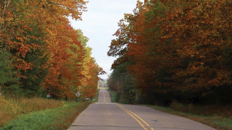
Oneida County is a place for people who love the outdoors. Nearly a quarter of the land in the county is public, open for anyone to enjoy. These beautiful lands in Wisconsin’s Northwoods include more than 80,000 acres managed by Oneida County. This county-owned land is broken into three sections, called “blocks,” that are home to winding trails, wild streams and vast tracts of hardwoods. Here’s a quick guide to help you explore each section of this wild forest.
Cassian/Woodboro block
Located in south central Oneida County, this 15,000-acre block includes a nice mix of Northwoods landscape. The forest includes aspen, oak, hardwood and pine trees. The Cassian/Woodboro Block includes bogs, wetlands and marshes, so it’s a great place for birdwatching. It’s also a popular silent-sports destination; the Washburn Lake Trail, Nose Lake Trail and the Cassian Two-Way Ski Trail are all located in this block. The trailheads for all have parking and are ideal places to enter the forest. See a map of the forest block here.
Enterprise block
The Enterprise block is a square section of county forestland that covers 20,000 acres in southeast Oneida County. The forest is a mix of hardwoods, aspen, oak, balsam fir and spruce trees, and it has a nice mix of recreation options. In the southwest corner of the block, you’ll find the Enterprise Campground and ATV trail. In all, the Enterprise block has 12 miles of off-road ATV trails. In the northeast corner of the block there’s also a fat bike and primitive ski trail. The Enterprise Block is bordered by Lincoln and Langlade County. See a map here.
Lynne/Little Rice block
This block in the southwest corner of Oneida County is the largest section of county forest, covering more than 40,000 acres. It has a nice mix of trails and relaxation spots. There’s a picnic area and boat landing at a small lake called Bass Lake; there’s another picnic area near a scenic river spot (Willow Rapids) and a popular recreation trail, the Lynne/Little Rice ATV Trail System. That system includes 20 miles of woodland trails and 16 miles of connecting ATV road routes. You can access the trails on the north side of the forest block; you’ll find three parking areas. See a map here.
